I went hiking in my beloved Foreste Casentinesi National Park a few weeks ago. This trip has been on my radar for a long time, a circular tour of incomparable beauty among wild environments like very few others in the area. Among the many ways to reach the La Lama, it is undoubtedly the best way to visit the ancient forests surrounding the beautiful, partly marshy plateau between rocky crags. The initial detour to Mount Penna is motivated by the rare panoramic view, perhaps the most beautiful in the entire park, as if from a wide-open balcony overlooking the sea of forests below.
GPX track and details available here.
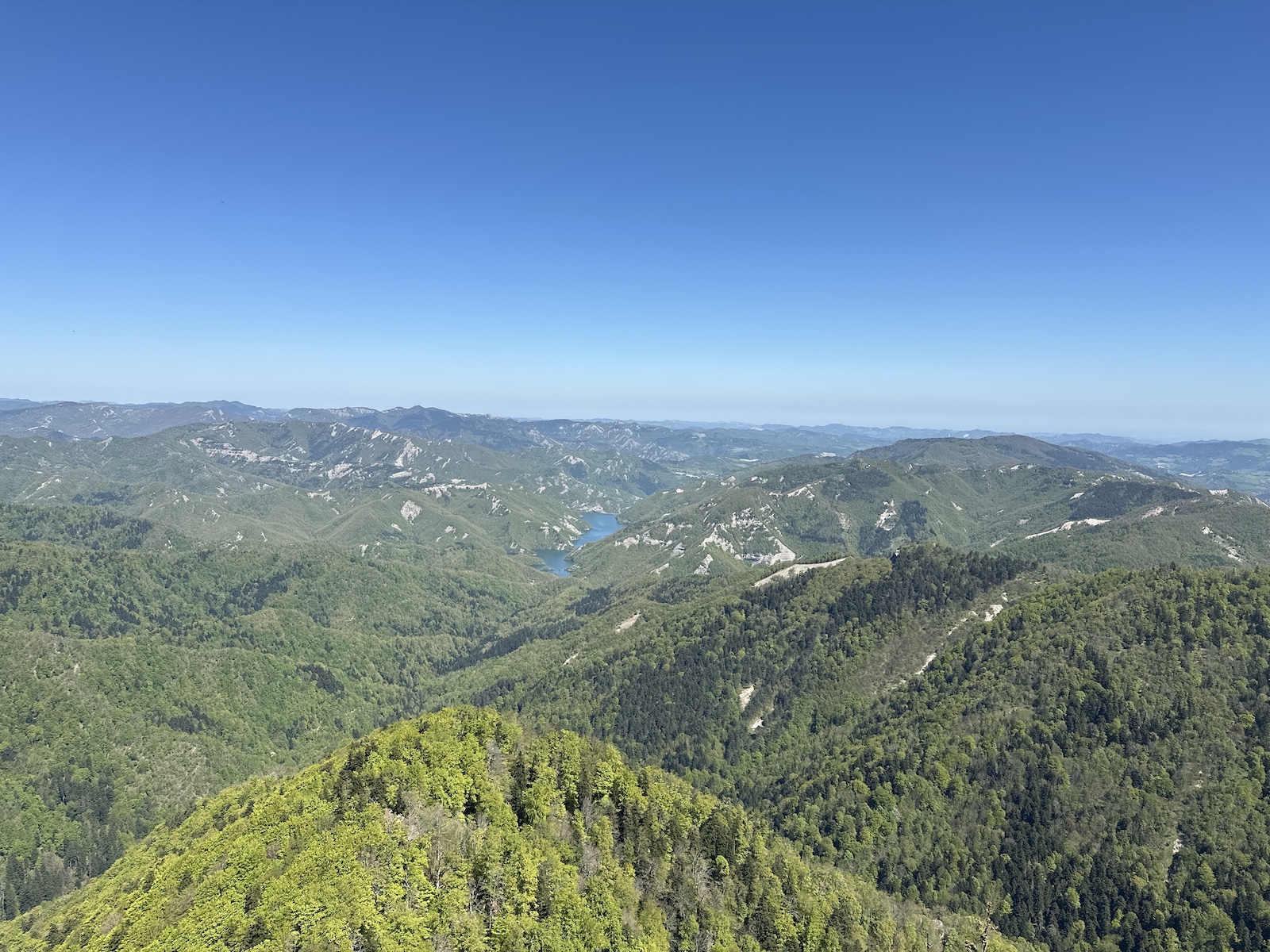
The view from Monte Penna summit. You can see the Ridracoli Lake in the distance.
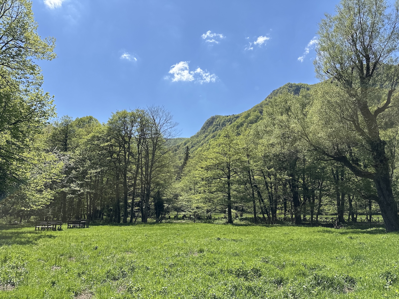
La Lama is a partly marshy plateau between rock cargs, filled with its peculiar Black Alders
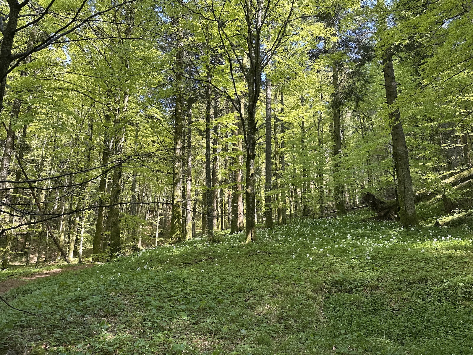
La Lama is crossed by several, crystal-clear streams. The magnificent beech forest that covers the area, at this time graced by the bloom of wild garlic.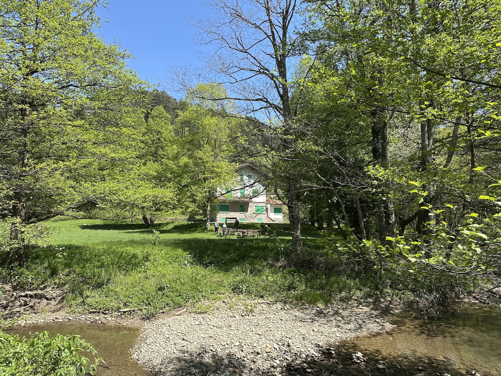
The day was bright and perfect, and everything went well. The highlight of the day was testing the Garmin InReach, and La Lama is the ideal place to test such an item since you have no cell signal. I sent and received text messages via satellite with Serena. The messages are geo-localized. You are no longer isolated; it works anywhere worldwide, and you can issue an SOS call anytime. Garmin will contact Mountain Rescue or equivalent service anywhere. As I have recently re-enrolled in CAI, social insurance should also cover any extraction intervention. I am very pleased with this setup; safety has increased dramatically. I have gone and come back on my motorcycle.